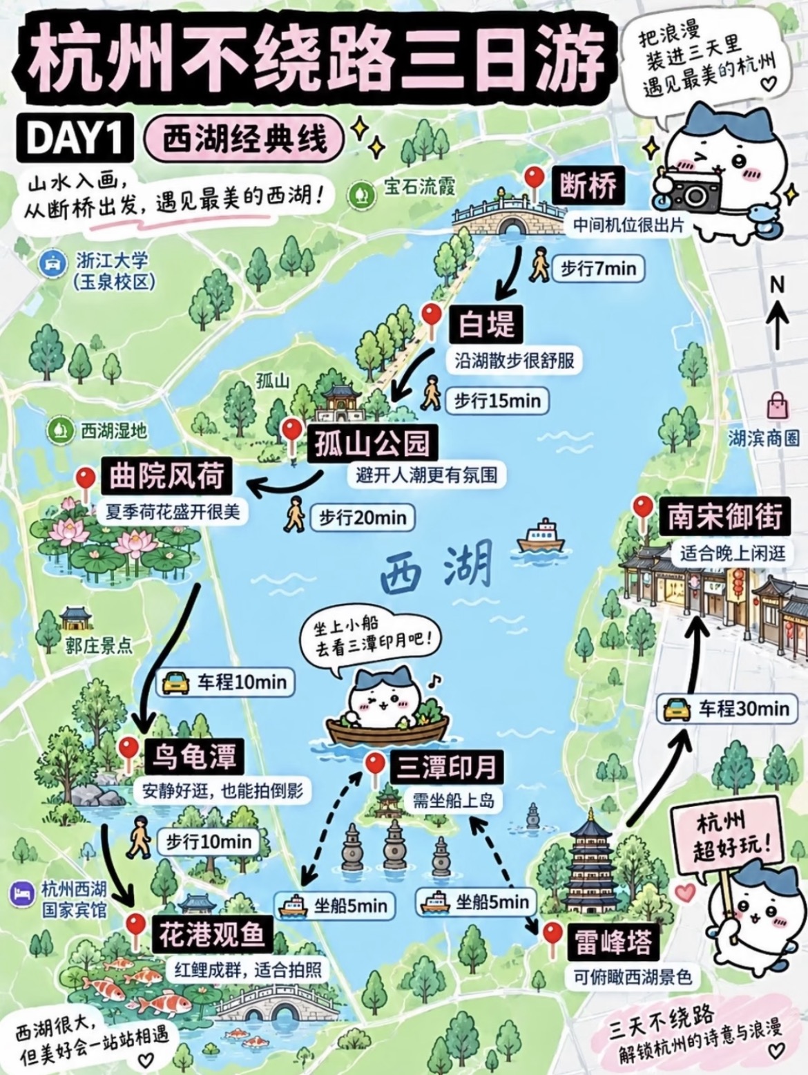
Hand-Drawn Travel Route Map
Turn city itineraries into vertical hand-drawn route map illustrations
Hand-Drawn Travel Route Map
Turn city itineraries into vertical hand-drawn route map illustrations
Showcase
Description
Transform a city itinerary (city, days, route name, one-sentence theme, 5–8 stops with relative positions and reviews) into a vertical hand-drawn travel route map illustration. Features a fixed layout with a top title area, hand-drawn overhead map, red pin stops connected by direction, black arrows and white capsule transit labels, a mascot cat speech bubble, and disclaimer text in the bottom left. Defaults to a 3:4 vertical aspect ratio, 1 image, and a cute, fresh hand-drawn watercolor style, with adjustable color schemes, art styles, mascots, and aspect ratios. Automatically uses the current best image generation model for direct output without repeated redrawing.
Recommended by
Dancang
Why we love this skill
Translates scattered city itineraries into prompt-ready vertical hand-drawn travel route maps with strict validation of stops, directions, transit, and layout details, balancing travel info design with illustration standards for clear, cute, and actionable results.
Best for
Ideal for travelers and content creators who want to turn city travel plans into clear, cute, and shareable route maps.
How to use this Skill
Provide your input
Provide the city name, travel days and day number, route name, theme, and 5 to 8 stop names, relative directions, and brief comments. You can also specify colors, mascots, or aspect ratios.
Run the Skill
The system organizes and checks your itinerary, generates a reproducible image prompt, and creates the route map illustration using a fixed layout, asking for any missing key stop information at once.
Review your result
Receive a vertical hand-drawn travel route map complete with a title, stop order, route arrows, transportation labels, mascot, and itinerary details. Multi-day trips can be created separately.
Related Skills
View all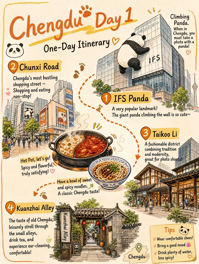 Image
Hand-Drawn Travel Guide Poster
Transform user city and itinerary details into a vertical hand-drawn travel guide illustration poster. It applies a standard layout featuring light watercolor and marker graffiti, an off-white paper texture background, orange marker titles, clockwise numbered stops with orange dashed arrows, food close-ups, sticky note tips, and a handwritten closing slogan. It supports up to 5 stops, with customizable cities, days, stops, mascots, food, and slogans. It generates 1 vertical 3:4 image using the best currently available image generation model, featuring clear, neat handwritten Chinese text without watermarks.
 Image
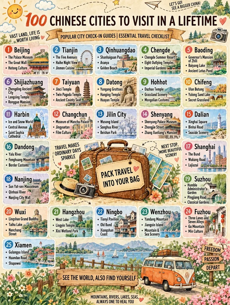
Travel Checklist Poster
Turn any theme (like "25 Chinese Travel Destinations") into a vertical hand-drawn watercolor checklist poster. It features a warm beige textured paper background, travel journal collage style, marker art typography, numbered item cards, a vintage suitcase main illustration, and a scenic landscape band. You can fine-tune the item count, title, subtitle, footer, domain, and aspect ratio. It applies a base template by default and generates the image in one pass using the best image generation model with no watermark.
 Image
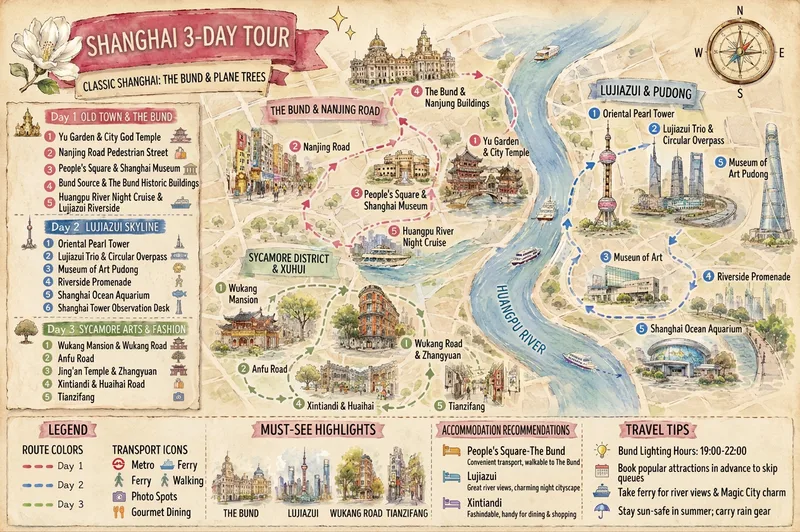
Hand-Drawn Trip Planner
Turn a destination, trip length, and scattered preferences into a multi-day travel plan with logical routes and clear information, then create two shareable landscape hand-drawn travel posters. Whether you provide only “city + number of days” or already have a list of must-see attractions, the plan can organize daily themes, stop order, suggested times, visit duration, meals, breaks, and transportation to minimize backtracking. Any attractions you specify will be fully preserved. When information is incomplete, the plan supplements it with destination attractions, opening information, transportation connections, and practical tips, clearly marking uncertain details for confirmation. You’ll receive two matching visual versions: a daily schedule divided into columns by day, and a map poster centered on a hand-drawn destination map and route. Both images consistently show daily routes, numbered stops, transportation legends, landmark illustrations, and travel suggestions. They use a gentle watercolor hand-drawn style, paper texture, and destination elements, making them suitable for saving, sharing, or publishing as travel content. Text in the images follows your input language: Chinese input produces a Chinese image, and English input produces an English image, avoiding a mix of Chinese and English.
Information
- Version
- v4
- Last updated
- Runtime credits
- Usage-based
- Models
- Auto
- Use cases
- Images & designLifestyle & entertainment
- What you get
- ImagePrompt
- Visual styles
- Hand-drawnWatercolor