
Explore Tibetan Temples
喜欢西藏寺庙的朋友来试试哦
Explore Tibetan Temples
喜欢西藏寺庙的朋友来试试哦
Showcase
Description
Generate interactive maps, information lists, pilgrimage itineraries, or comparative analyses of 62 Tibetan Buddhist monasteries and 6 grotto/mural sites across 7 regions and 6 sects. Supports bilingual output, distance measurement, and data correction.
Recommended by
nene@YouMind
Why we love this skill
Unlock Tibet's spiritual heartland with this expert guide to its monasteries and cave sites. Explore interactive maps, detailed lists, pilgrimage routes, or comparative analyses.
Related Skills
View all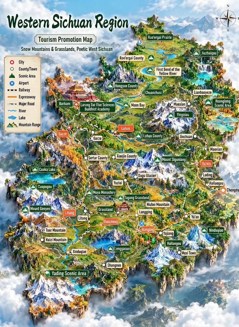 Image
Tourism 3D Map Illustration
Transform a region name (such as "Ganzi" or "Western Sichuan Loop") into a vertical tourism promotion 3D map illustration: a miniature terrain island floating above a sea of clouds, featuring snow mountains, meadows, lakes, canyons, rivers, and roads. It includes a top-left legend, a top-right vintage compass, 15 to 30 colored leader-line labels (prefectural cities, counties/townships, scenic spots, and airports) arranged by real relative positions with miniature landmark icons, large calligraphic region name and ribbon slogan at the top, and an artistic representation notice at the bottom. The region name, eight-character slogan, label list, terrain framework, color scheme, and aspect ratio can all be fine-tuned. It applies a baseline template by default and generates the image in one go using the best image generation model (GPT Image 2) without watermarks.
Information
- Version
- v3
- Last updated
- Runtime credits
- Usage-based
- Models
- Auto