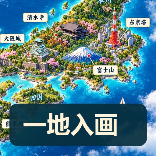
3D Travel Map Poster Generator
Enter a place to craft a miniature world
3D Travel Map Poster Generator
Enter a place to craft a miniature world
Showcase
Description
Turn the place you want to visit into a recognizable travel poster. Enter a country, city, town, or scenic spot name to first check geographical relations, representative architecture, and local features before designing a 3D miniature travel map. It defaults to a 3:4 vertical image, Simplified Chinese, and isometric miniature landscape style, while allowing custom aspect ratios, art styles, and host-available models. Use map data to constrain locations, real photos to constrain architecture, and style references to control lighting and color schemes. Sparse data means fewer landmarks without filling the canvas with fictional attractions. Ideal for travel content creators, local tourism accounts, and destination visual introductions. Web search and image generation rely on YouMind's actual tools and credits; identically named locations or insufficient data require additional regions, map links, or photos. Architectural recognition and geographical accuracy are acceptance goals, and one-pass precise restoration for any location is not guaranteed. Maps are artistic illustrations and not for navigation. Product and workflow design by leowang.
Recommended by
Dancang
Why we love this skill
Transform real place names into verifiable 3D travel map posters by researching administrative boundaries, geographical relationships, and landmark appearances before visual creation. Its uniqueness lies in factual checklists, source tracing, and image verification for appealing yet accurate miniature landscapes.
Best for
Best for travel content creators, local culture and tourism accounts, and anyone needing destination visual introductions.
How to use this Skill
Provide your input
Enter a country, region, city, town, or scenic spot name, and you can also specify the aspect ratio, style, language, theme, season, map link, or reference photo.
Run the Skill
Verify the location boundary, geographical relations, and representative landmarks, organize visual elements based on reliable data, and create a recognizable 3D miniature travel map poster.
Review your result
Receive a travel map poster along with the selected landmarks, data sources, generated prompts, verified items, and uncertain items notes.
Related Skills
View all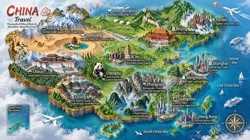 Image
Miniature Maps for Any Place
Best for: travel bloggers, tourism promotion, geography and culture education, hometown promotion, travel guide covers, and social media series. Turn any place into a miniature diorama you can hold in your hands. Just enter a place name. The Skill first identifies whether it is a country, province, city, or town, then researches the area's most representative real landmarks, cultural symbols, and local specialties. Finally, it generates a bright, finely detailed 3D isometric miniature travel map poster. ✅ Landmark research: verify first, then illustrate—no invented buildings, attractions, or place names ✅ All location levels: country / province / city / district or county / town / scenic area ✅ Clear information: place name + icons + keyword labels make each area's character easy to understand at a glance ✅ Default 3:4 portrait format, suitable for Xiaohongshu, Douyin covers, and Pinterest ✅ Flexible styles: 3D miniature, clay, pixel art, watercolor, paper cut, or low-poly ✅ Series-ready: maintain a consistent style for batches such as "All Provinces of China," "Northeast China’s Three Provinces," or "Cities Across China" ✅ Supports Chinese, English, and bilingual Chinese-English labels
 Image
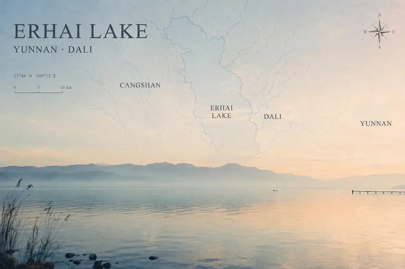
Travel Photo Map Poster
Turn a travel photo into a map poster with geographic information and an independent magazine sensibility, while preserving the original subject, colors, lighting, composition, and aspect ratio. Simply provide a photo and shooting location, and the poster will use real local terrain to select map elements such as coastlines, lake shorelines and waterways, urban streets and lanes, or mountain-ridge contours. These elements are layered into negative space such as the sky, sea, or walls to avoid covering the main subject. The poster includes a title, subtitle, and a small number of real place names in the local official language, along with a refined compass rose, scale bar, and a small red dot marking the approximate shooting area. When location information is unreliable, precise coordinates are not fabricated. The overall design uses low-saturation, light-colored linework, natural fade-outs, and a subtle paper-print texture for a restrained, clean Travel Map Poster / Travel Zine style. It is suitable for preserving travel memories, creating destination keepsake posters, or adding map-based storytelling to landscape, architectural, and urban photography. After generation, you can further fine-tune the map’s opacity, scale, title placement, and font style as needed.
 Image
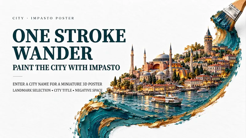
One-Stroke City Oil Poster
Capture a city you want to visit in a single, richly textured stroke of oil paint. Enter a city name, and historic architecture, contemporary streets, tiny figures, and local waterways unfold along a single curve. Layered oil paint, the dimensional feel of miniature buildings, and generous white space on paper come together with a large city title and a custom short poem to create a collectible travel art poster. Create Kyoto’s autumn lanes, Lisbon’s blue-and-white sea breeze, or Istanbul’s copper-and-gold night tones—or switch to your own city. Landmarks, colors, seasons, title language, and aspect ratio can all be adjusted. Text-free versions and series creation are supported. By default, the landmark choices and layout are confirmed first, followed by image generation and checks for architecture, brushwork, brush details, and text. To skip a step, say, “You choose and generate directly.” The default is a 9:16 portrait layout, one flat oil-paint brush, and a white fiber-paper background. Suitable for travel keepsakes, city-themed visuals, wallpapers, and poster design exploration. The displayed materials are newly created AI city impression images for this session; geographic locations and scale are artistically reimagined, not map data or records of real scenes. 3,000 credits is the Skill installation price; actual image-generation usage follows platform rules. The environment must support image generation. End-to-end image generation on YouMind has not yet been tested.
Information
- Version
- v2
- Last updated
- Runtime credits
- Usage-based
- Models
- Auto
- Use cases
- Images & designMarketing & growth
- What you get
- ReportImagePrompt
- Visual styles
- 3D