City Travel Route Poster Maker
Verified city itineraries and social posters
City Travel Route Poster Maker
Verified city itineraries and social posters
Showcase
Description
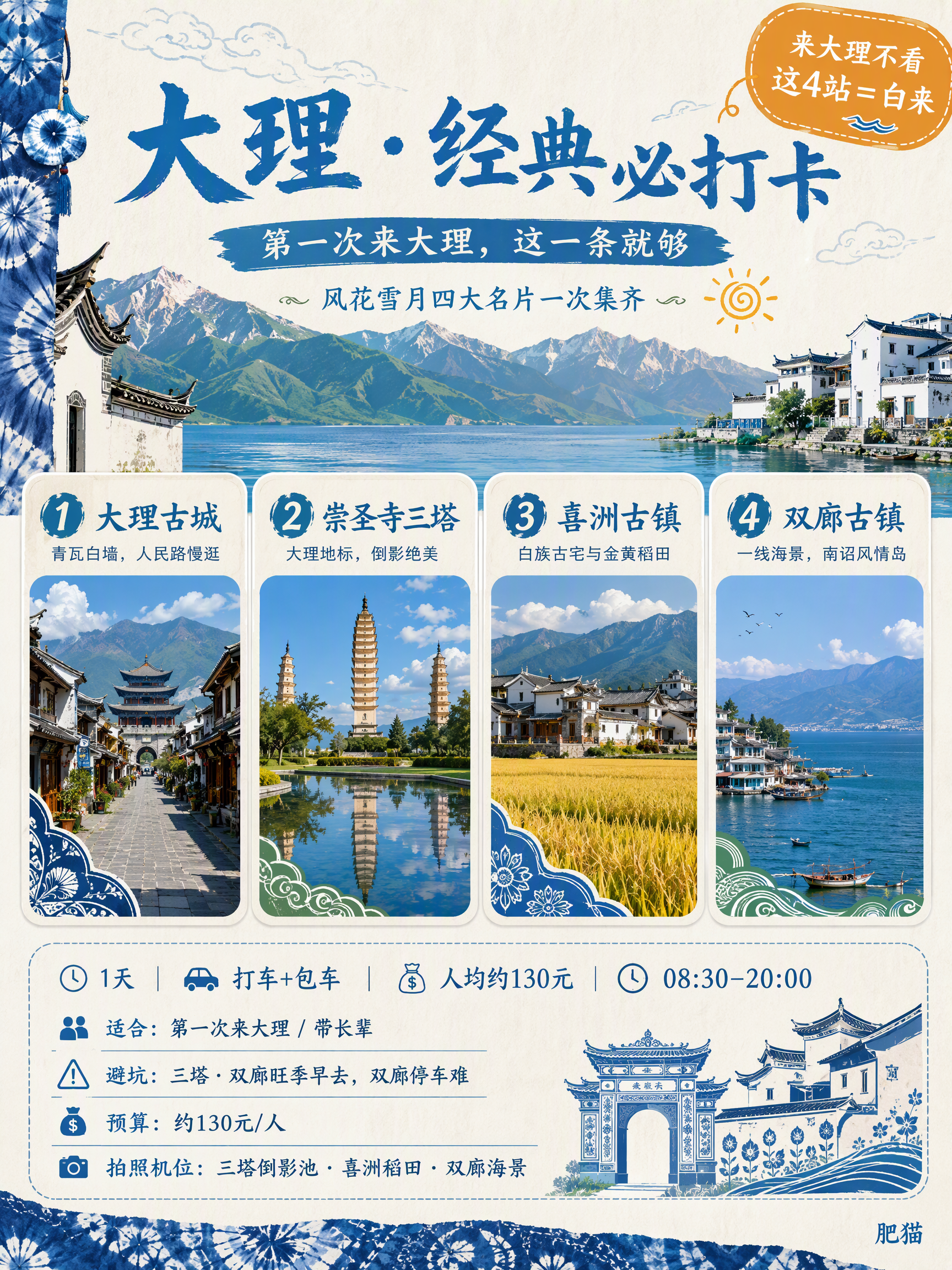
Enter a city name to automatically search the web for verified attractions and routes, then generate 6 travel-grade route posters plus 1 “at-a-glance” map graphic in one batch. Each comes in 3:4 and 9:16 formats, for a total of 14 high-resolution images. Ready to post on Douyin or Xiaohongshu, it’s ideal for creators who need to produce visuals in batches.
Recommended by
淡苍
Why we love this skill
Combines verified city research, six themed routes, budget and pitfall tips, photo spots, coordinated posters in two sizes, an infographic map, and final quality checks.
Related Skills
View all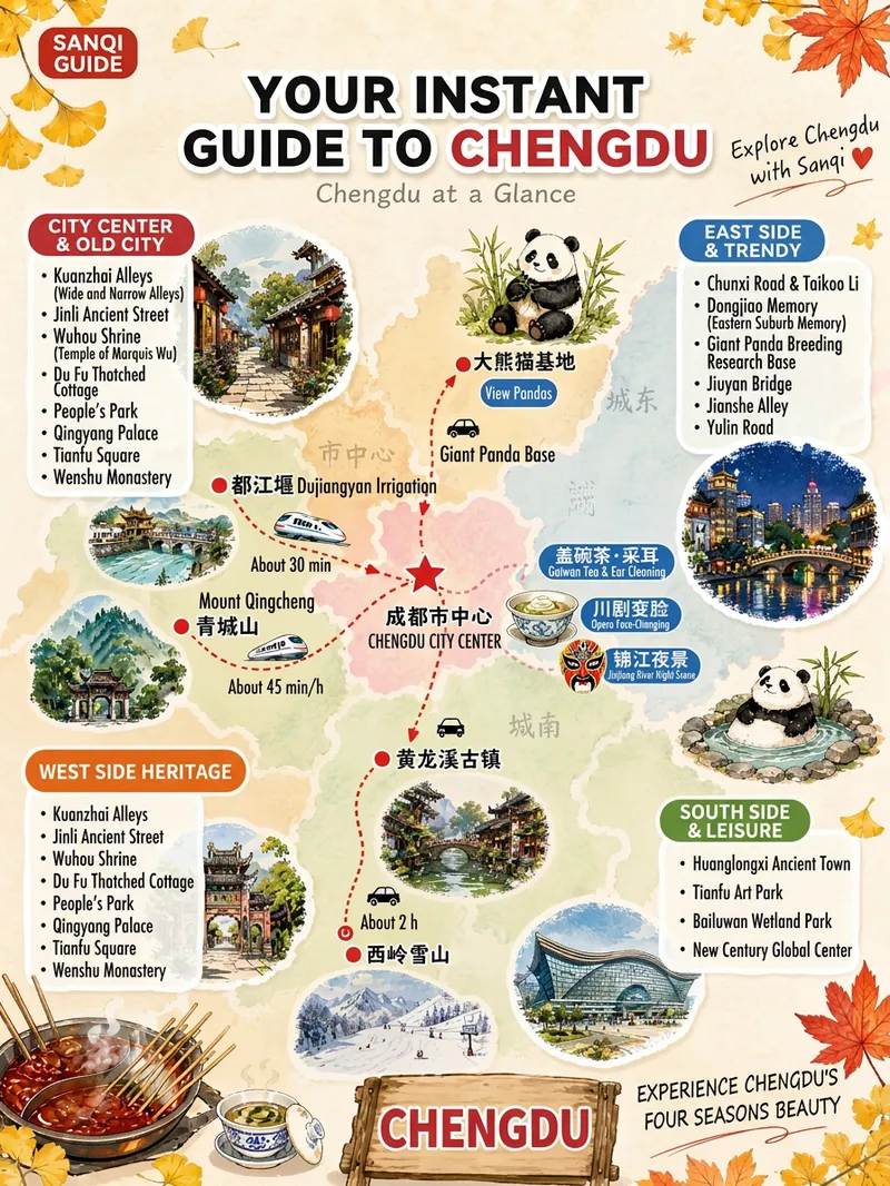 Image
ImageViral City Guide Poster Maker
How to monetize: 1. Run a travel guide account and monetize through traffic on Xiaohongshu, Douyin, WeChat Channels, or WeChat Official Accounts. Create one set of visuals per city, then repurpose it into a cover, carousel, and collection to build an ongoing city series. 2. Take on promotional design projects for travel businesses, such as car rental companies, homestays, local guides, small travel agencies, and businesses near attractions. Their need is route promotional graphics. 3. Sell digital travel guides: combine route maps with itineraries, transportation details, and food lists, then package them as PDFs or digital planners for sale on Xiaohongshu, Xianyu, or knowledge storefronts. 4. Build a city-account network: use one skill to produce content for different cities, launch multiple accounts, and keep the best-performing ones based on conversion results. Best for: Travel bloggers and guide-account operators: want to post daily city guides but find visual production too slow Beginners who want to start an account: have no design background but want to quickly launch a travel-focused account Travel agencies, car rental services, homestays, and guides: need low-cost route promotional materials quickly Local lifestyle and tourism professionals: promote cities or attractions Freelancers and people building a side business: want to take on guide-graphic production projects Content studios and multi-account teams: need to create graphics in bulk with a consistent style Travel enthusiasts: want a beautiful guide graphic for their own itinerary or to share with friends This skill compresses the entire process into one sentence: enter a city name, and the system does the rest automatically. You’ll get a complete set of finished materials: 4 themed route posters, such as a popular arts-and-culture route, romantic night-view route, natural scenery route, and classic landmarks route. Each includes 4 watercolor-brush-edged scenic cards, white place-name labels, and handwritten short reviews. 1 cartoon overview map, “Understand 【City】 at a Glance,” with regional divisions, attraction lists, travel times, and notable experiences.
 Image
ImageCity Travel Poster
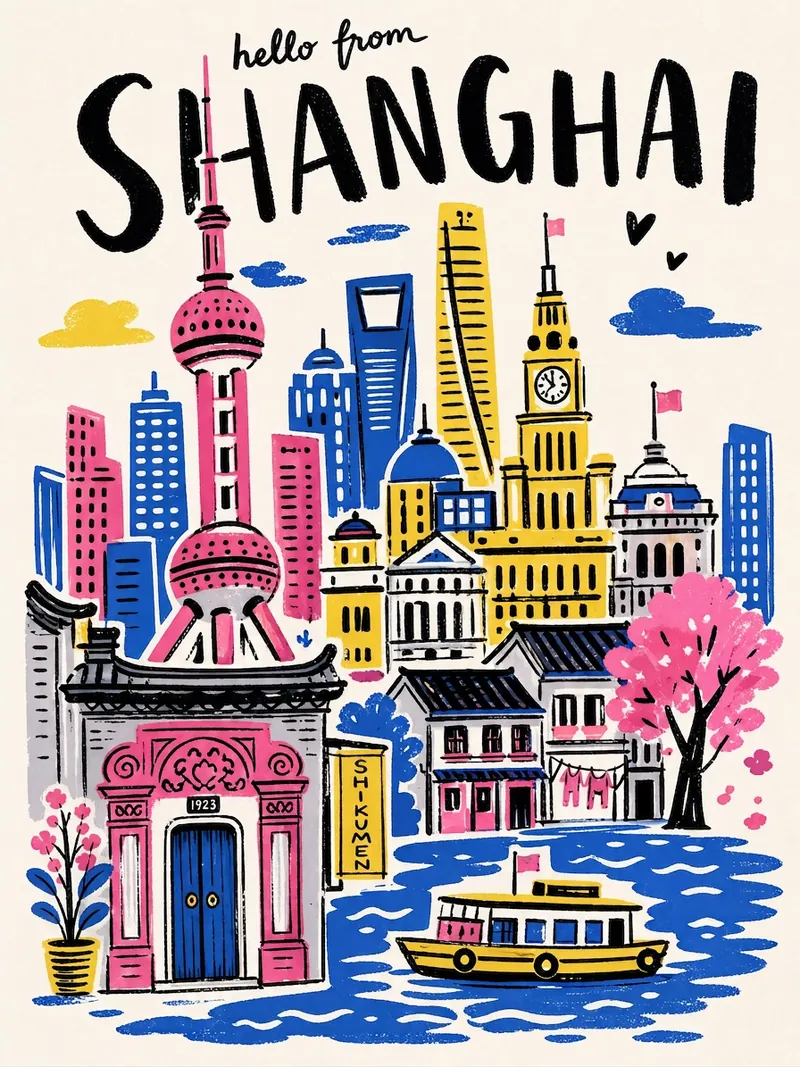
Input a city name to instantly generate a hand-drawn illustration style city travel poster—bold black handwritten city name, limited high-saturation palette, collage composition, hand-drawn wobbly lines, and screen-print texture. Each poster automatically matches the city's iconic landmarks and a unique color scheme.
 Image
Image3D Aerial Route Map
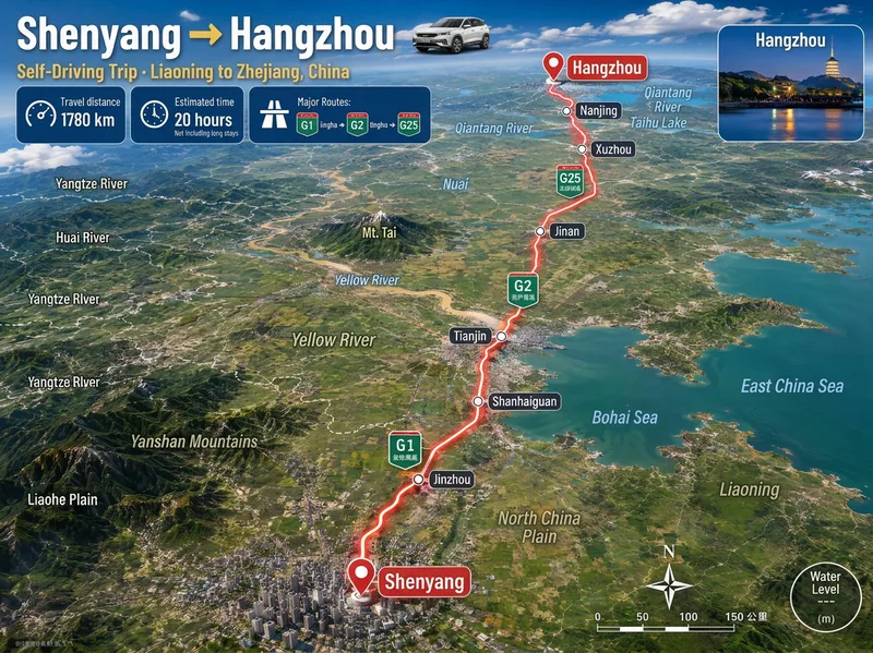
Ideal for: 1. Travel, road-trip, and local discovery content creators. 2. Guide creators on Xiaohongshu, Douyin, and WeChat Official Accounts. 3. Operators at travel agencies, guesthouses, car rental companies, and tourism bureaus. 4. Video editors who need "route animation assets" for short-video openings and transitions. 5. Teachers, geography enthusiasts, and people creating educational travel materials. 6. Anyone who wants to make a commemorative "Our Route" poster for a partner or friends. Enter a city, town, village, or country. Mountains, deserts, river valleys, and coastlines are recreated from real maps, with distance, travel time, road numbers, and stops provided at once. The image includes a prominent headline, three information cards for distance, travel time, and the main route, a glowing red route line, labels for real stops, road-number shields, province or country borders, names of mountains, deserts, forests, and other terrain along the route, a small destination landmark image, a compass, and a scale bar. The default format is 3:4 portrait with Simplified Chinese. Both the aspect ratio and language can be customized. Routes across seas or continents automatically switch to flight paths or dashed ferry routes.
Information
- Version
- v2
- Last updated
- Runtime credits
- Usage-based
- Models
- Auto