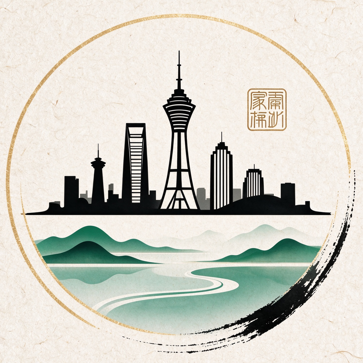
Chinese Style Travel Poster
Create scroll-style cultural travel posters
Chinese Style Travel Poster
Create scroll-style cultural travel posters
Showcase
Description
Enter the name of your hometown or city to automatically extract local landmarks, natural landscapes, signature foods, representative flora, and regional cultural symbols, generating a unified vertical Chinese-style cultural tourism poster. The left side features large calligraphy titles, poetic phrases, and seal stamps, while the right side displays distant landscapes, city landmarks, ancient-style characters, and local artifacts arranged from far to near. Flowers, leaves, and flowing translucent silk connect the entire composition against an off-white rice paper background. It is ideal for postcards, travel covers, and social media visuals.
Recommended by
Dancang
Why we love this skill
Transforms your hometown into a cohesive series of vertical Chinese-style travel posters, cleverly blending real landmarks, local food, plants, and cultural symbols. The balance of calligraphy on the left and layered scenery, architecture, and figures on the right is perfect for travel memories and social sharing.
Best for
Great for users looking to create hometown promotions, travel souvenirs, or local cultural tourism visuals.
How to use this Skill
Provide your input
Enter a city or hometown name, and optionally add a theme title, character action, and local elements like landmarks, food, or flowers.
Run the Skill
After submitting your info, a vertical Chinese-style cultural tourism poster featuring local scenery and cultural symbols is generated.
Review your result
Receive a scroll-style poster image suitable for postcards, travel covers, and social media images.
Related Skills
View all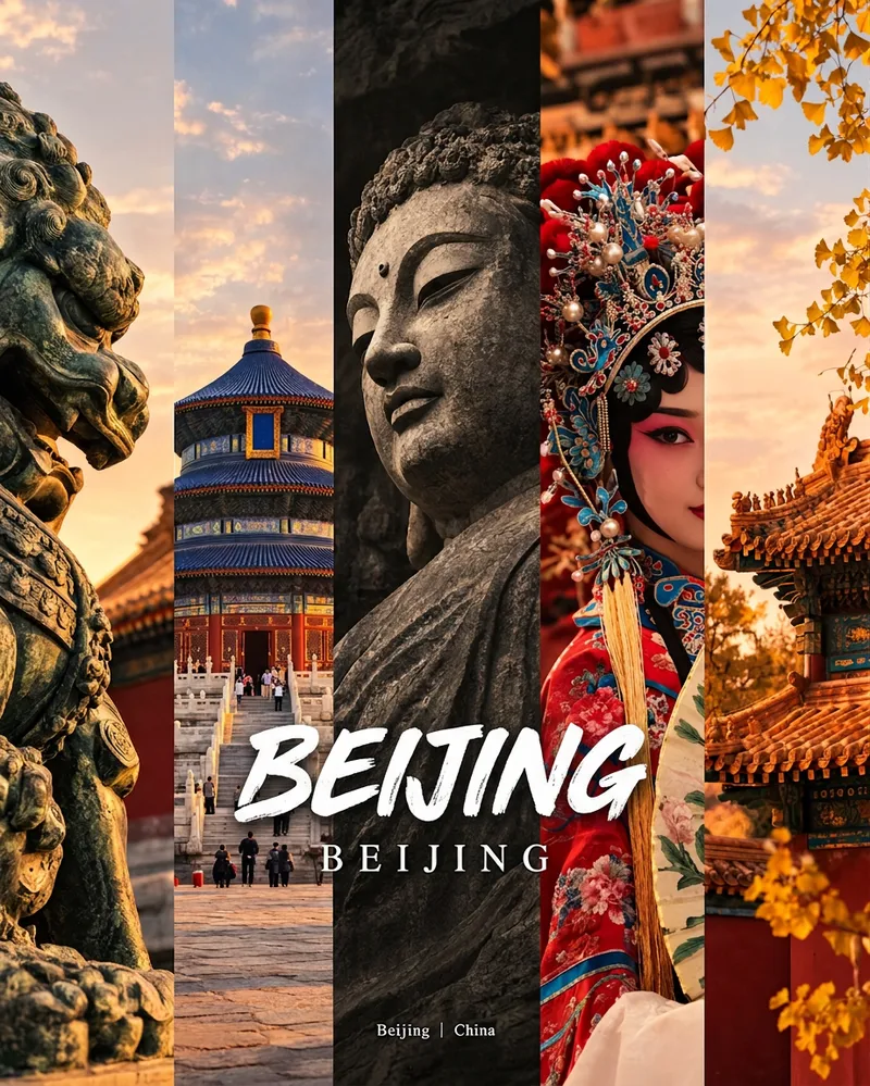 Image
City Culture Poster Maker
Enter a place name to instantly create a polished city identity poster in a five-panel vertical-strip format. The design seamlessly combines five equal-width vertical strips: close-ups of cultural artifacts and nature on the outer panels, an architectural landmark in the second panel, local customs and cultural life in the fourth, and the city’s most soulful cultural symbol in the center. The overall look uses warm golden-hour light and cinematic color grading. The center panel is darkened and desaturated to create a "warm—cool—warm" visual rhythm. A large white calligraphic place name, its English serif name, and the small text "Administrative Region | Country" are layered below the center panel. Two ways to use it: · Upload 5 photos you took yourself and enter a place name: the system automatically sorts them by content, crops them vertically, applies consistent color grading, and combines them into a poster in the same style · Enter only a place name: the system automatically selects 5 of the area’s most representative real-world elements and faithfully generates the poster Ideal for travel blogger covers, city tourism promotion, Xiaohongshu/Instagram carousel cover images, city identity cards, and album covers.
 Image
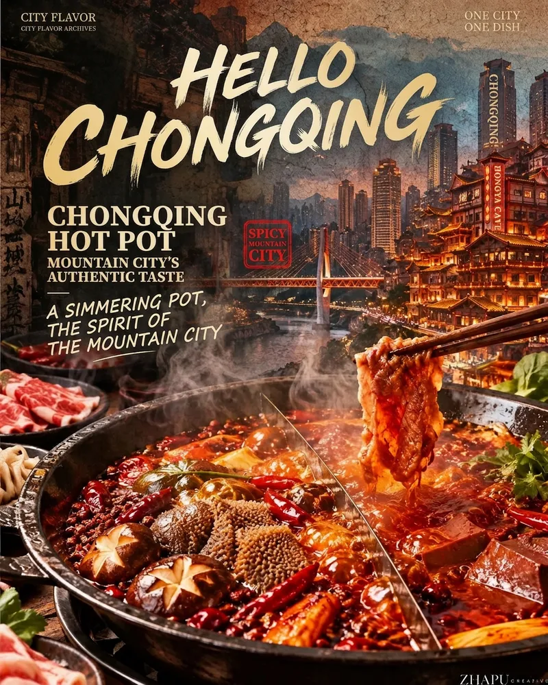
City Flavor Poster
When a user enters a city or province, first search the web for local landmarks, daytime and nighttime views, tourist attractions, and representative foods. For each category, let the user select the single most recognizable option. Then recommend and confirm related poetic lines and footer credit text. Finally, combine the city landmark, local cuisine, and vintage layout to create a 9:16 portrait city flavor poster. The visual system keeps the series consistent across cities: the food takes up the largest visual area and remains vivid, glossy, and appetizing; city landmarks are layered semi-transparently into the background to tell a story; an oversized calligraphic “Hello, [City Name]” title, dish name, small English text, and red seal create recognizable visual markers. The background uses aged paper, halftone dots, and grain, while the food in the foreground stays clear and bright. You can add your name as the signature.
 Image
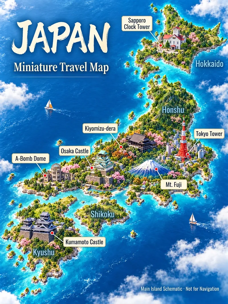
3D Travel Map Poster Generator
Turn the place you want to visit into a recognizable travel poster. Enter a country, city, town, or scenic spot name to first check geographical relations, representative architecture, and local features before designing a 3D miniature travel map. It defaults to a 3:4 vertical image, Simplified Chinese, and isometric miniature landscape style, while allowing custom aspect ratios, art styles, and host-available models. Use map data to constrain locations, real photos to constrain architecture, and style references to control lighting and color schemes. Sparse data means fewer landmarks without filling the canvas with fictional attractions. Ideal for travel content creators, local tourism accounts, and destination visual introductions. Web search and image generation rely on YouMind's actual tools and credits; identically named locations or insufficient data require additional regions, map links, or photos. Architectural recognition and geographical accuracy are acceptance goals, and one-pass precise restoration for any location is not guaranteed. Maps are artistic illustrations and not for navigation. Product and workflow design by leowang.
Information
- Version
- v2
- Last updated
- Runtime credits
- Usage-based
- Models
- Auto
- Use cases
- Images & designMarketing & growth
- What you get
- Image
- Visual styles
- WatercolorTraditional ChinesePaper art