Free Meal Map-Warm Watercolor
Free Meal Map-Warm Watercolor
Showcase
Description
Reads member destinations from a table or text and generates a 16:9 hand-painted watercolor free-meal map of China in warm beige. By default, it uses no lines, labels cities directly on the main map, and organizes names by geographic region. Provinces with visiting members are colored, while others are grayed out. It also ensures nearby city attractions or classic local foods are accurately matched with neighboring city lists.
Related Skills
View all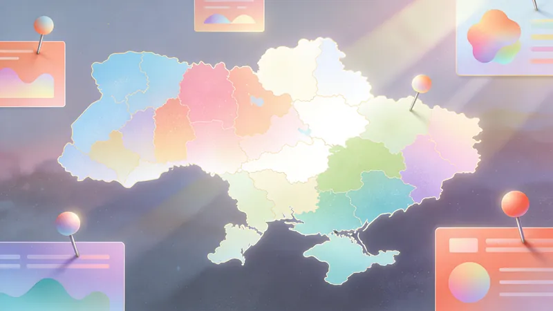
Blue Minimalist Free Meal Map
This skill validates the city, school, name, and teacher data for a class or team and generates a blue-and-white horizontal free meal map. Cities or provinces with destinations are highlighted in color; areas without destinations and Taiwan Province appear in gray.

Graduation Meal Map (5 Styles)
Reads multi-sheet graduation destination data, performs validation and privacy processing, and actually generates high-definition graduation meal maps in five color schemes, full-bleed 16:9, with clear city segmentation.
 Image
ImageCity Travel Poster
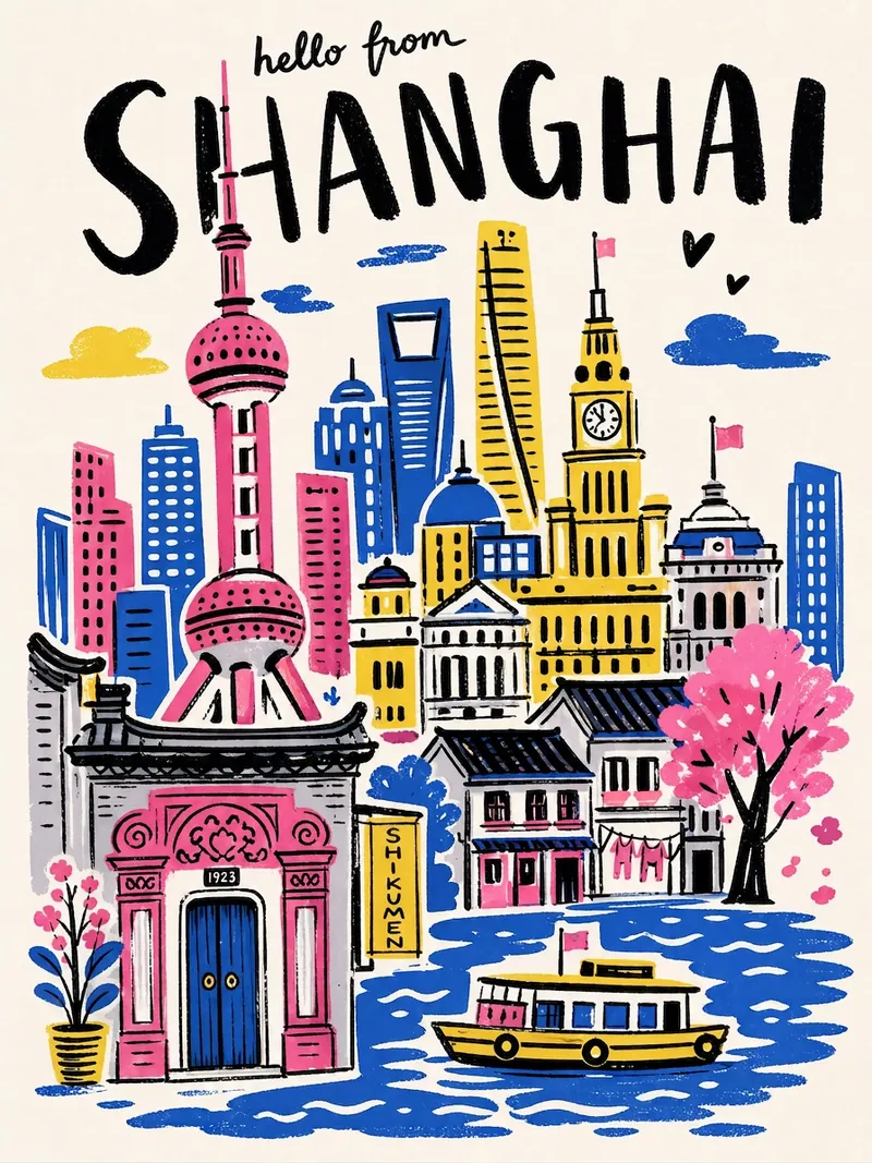
Input a city name to instantly generate a hand-drawn illustration style city travel poster—bold black handwritten city name, limited high-saturation palette, collage composition, hand-drawn wobbly lines, and screen-print texture. Each poster automatically matches the city's iconic landmarks and a unique color scheme.
Information
- Version
- v3
- Last updated
- Runtime credits
- Usage-based
- Models
- Auto