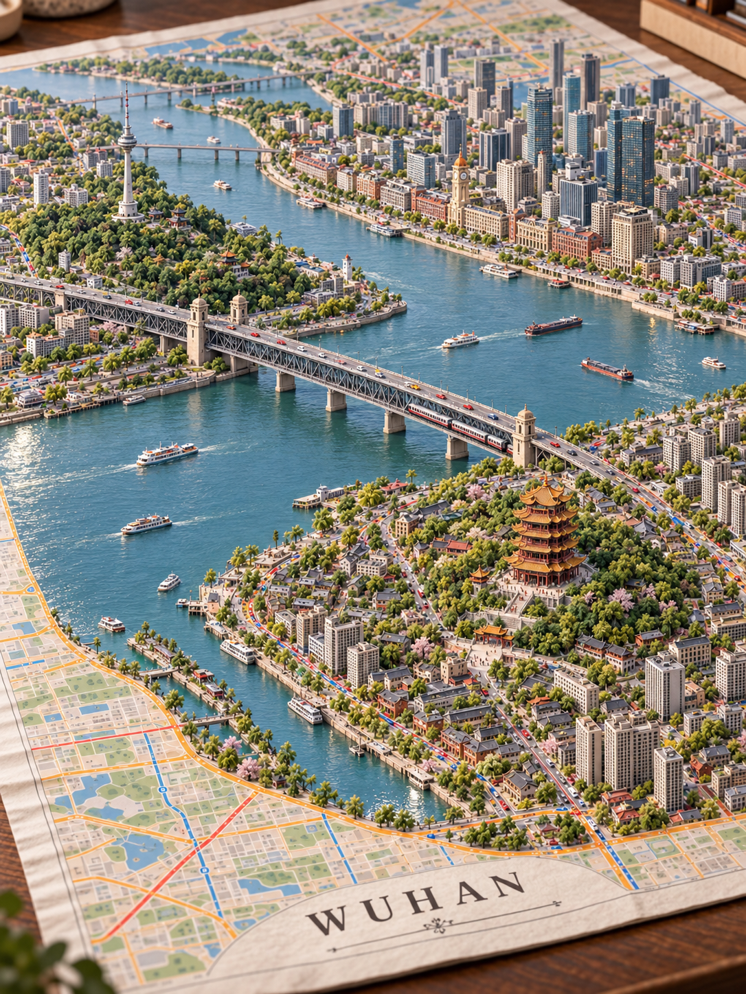
City Growing from Map
Turn city names into 3D miniature dioramas from paper maps
City Growing from Map
Turn city names into 3D miniature dioramas from paper maps
Showcase
Description
Transform a city name or a user-provided map into a hyper-realistic miniature diorama of a city naturally emerging from paper. Ideal for tourism visuals, hometown keepsake images, and consistent city series. By default, it generates a 3:4 image directly. You can specify landmarks, maps, city name text, seasons, and lighting, or choose to output only the complete prompt. It includes built-in style samples, prompt skeletons, and city examples, emphasizing the natural blend of continuous blocks, varying heights, transportation, and paper maps. Test runs have been completed for Beijing, Wuhan, Xiamen, and Hainan, with Hainan handled according to its provincial tourism impressions. The generated content is artistic map visuals and is not intended for navigation, surveying, or direct 3D model manufacturing. Image generation models and costs are subject to YouMind's current active settings.
Related Skills
View all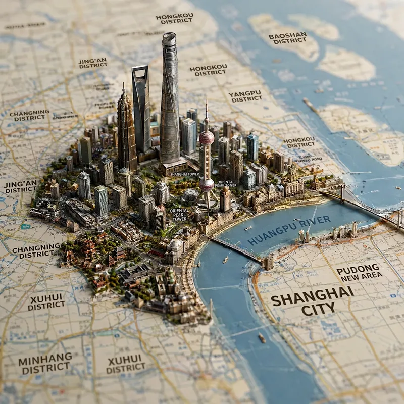
Viral Place Miniature Maps
Enter the name of a city, district, county, township, province, country, or region to generate a realistic miniature map city and landmark image. Based on the area’s real geography, the image combines map features such as terrain, coastlines, mountains, rivers, and roads, bringing representative architecture, natural landscapes, city skylines, and regional cultural elements to life in their corresponding locations. The result naturally blends a map with a miniature diorama. The default format is a 1:1 square composition from a top-down perspective, with the shallow depth of field of high-end macro photography, finely detailed materials, soft lighting, and the collectible quality of a scale model. You can also add requests for a night scene, snowy setting, specific color palette, camera position, or landmarks. After generation, the image includes a brief explanation of the representative elements shown, making it suitable for travel visuals, city showcases, regional cultural expression, and geography-themed creative work.
City Landmark Diorama
Turn a city’s representative landmarks into a miniature map illustration that combines geographic grounding with visual appeal. Simply provide the city name along with any preferences for coverage, language, scale, or style. The Skill will organize the relative positions of around 5–8 key landmarks, riverbank relationships, roads, bridges, and distances between landmarks, while shaping the scene around local architectural character. The final result is a complete, ready-to-view city landmark diorama—not just a prompt or composition plan. The scene uses a full-frame warm-toned map surface, refined, colorful 3D diorama models, a small and varied selection of background buildings, and clear Chinese labels to emphasize the visual hierarchy of “large landmarks, small buildings.” It also retains a city title plaque in the upper left, a north arrow in the upper right, and necessary artistic annotations. This makes it suitable for city introductions, travel and cultural content, regional overviews, and visual presentations. After generation, it also checks landmark recognizability, relative positions, river and road relationships, label text, and compositional consistency, making corrections when needed. This is an artistic illustration of city locations and does not replace navigation, surveying, or a map with a precise scale. When web research and image-generation capabilities are available, it can include brief sources, the research date, and reusable prompts. If image generation is not currently available, it provides a complete image-generation prompt and a location list.
 Image
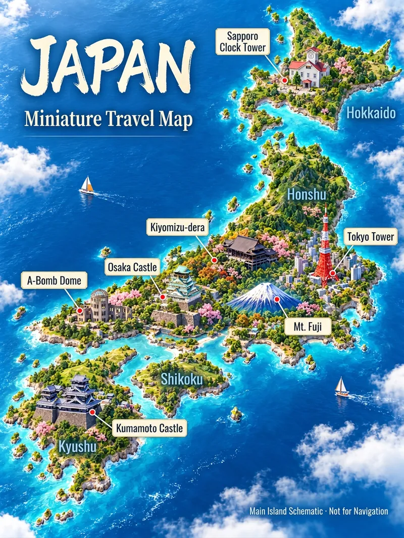
3D Travel Map Poster Generator
Turn the place you want to visit into a recognizable travel poster. Enter a country, city, town, or scenic spot name to first check geographical relations, representative architecture, and local features before designing a 3D miniature travel map. It defaults to a 3:4 vertical image, Simplified Chinese, and isometric miniature landscape style, while allowing custom aspect ratios, art styles, and host-available models. Use map data to constrain locations, real photos to constrain architecture, and style references to control lighting and color schemes. Sparse data means fewer landmarks without filling the canvas with fictional attractions. Ideal for travel content creators, local tourism accounts, and destination visual introductions. Web search and image generation rely on YouMind's actual tools and credits; identically named locations or insufficient data require additional regions, map links, or photos. Architectural recognition and geographical accuracy are acceptance goals, and one-pass precise restoration for any location is not guaranteed. Maps are artistic illustrations and not for navigation. Product and workflow design by leowang.
Information
- Version
- v4
- Last updated
- Runtime credits
- Usage-based
- Models
- Auto